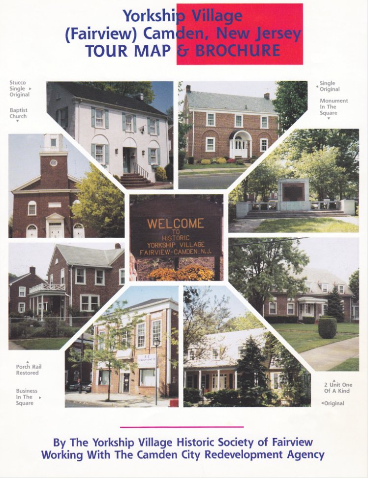
Tour Map by the Yorkship Village Historic Society of Fairview working with the Camden City Redevelopment Agency. Guide Jeff Merkel, Driver Den Ruiz, Photos Michael Ruiz, Coordinator Al Rose. Two Photos: Agnes Ruiz, Phil Cohen.

Aerial View of Fairview (2001). The original imagery came from photographs from a plane flying over South Jersey on July 16, 2001 as part of the Eastman Kodak Citipix project. The resolution is 6-inch (15 cm).
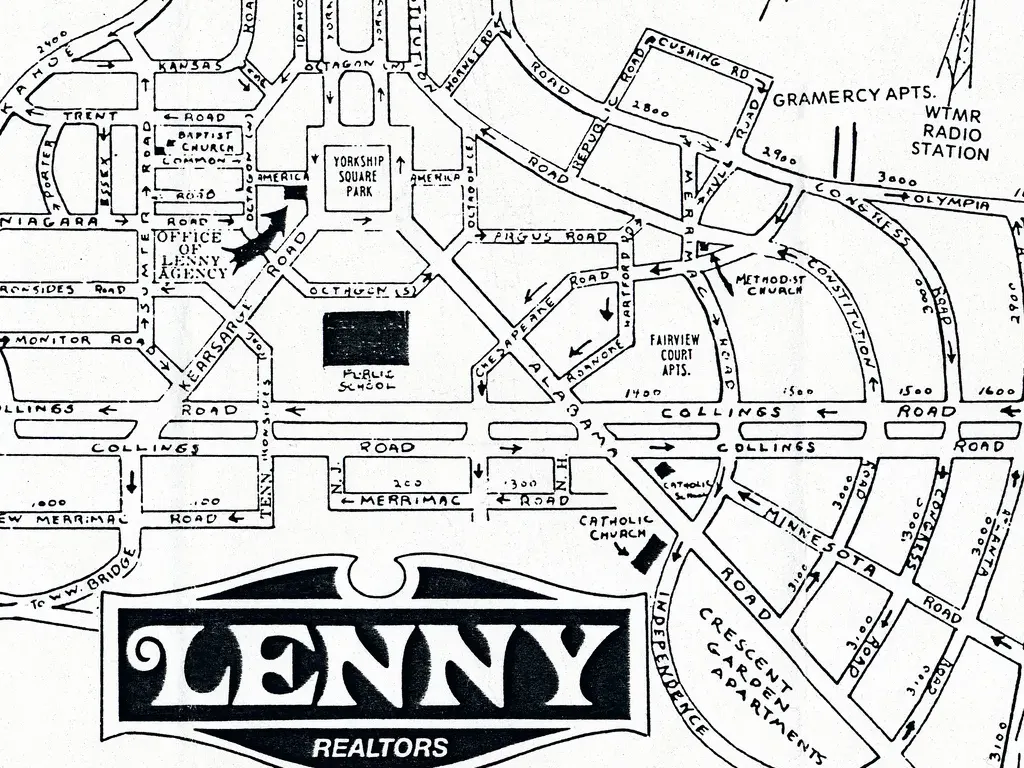
Lenny Map. Brother Den (about 8) and I were outside Lenny's on our bikes one summer day around 1960. Den walked into Lenny's and asked for a Fairview map. Out comes Den in a couple of minutes with a Lenny map in hand. It was a nice cardboard one that folded in thirds. Sonny Ruiz
Plans and More (6 items)
US Shipping Board Emergency Fleet Corporation ad for the auction sale of Fairview homes, Saturday December 10, 1921 at 1 pm, Motion Picture Theatre, Gymnasium, South Collings Road, opposite Chesapeake Road, Fairview.
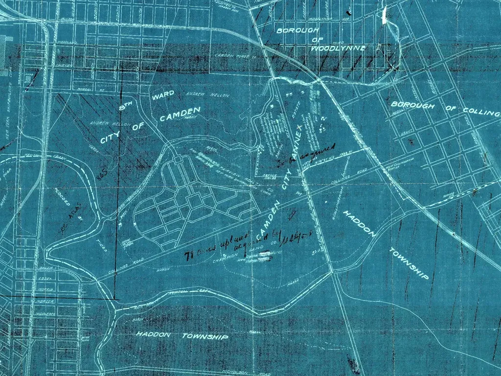
Proposed annexation map dated May 1918.
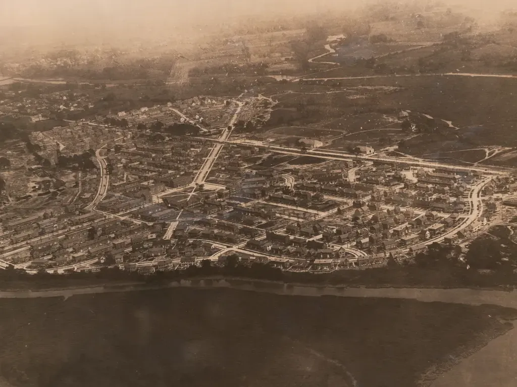
Looking Southeast. Aeroplane photograph of Yorkship village taken in 1919 by the New York Shipbuilding Corporation.
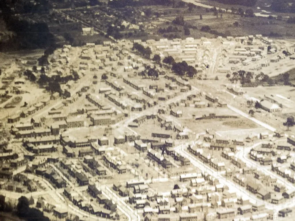
Looking East. Aeroplane photograph of Yorkship village taken in 1919 by the New York Shipbuilding Corporation.
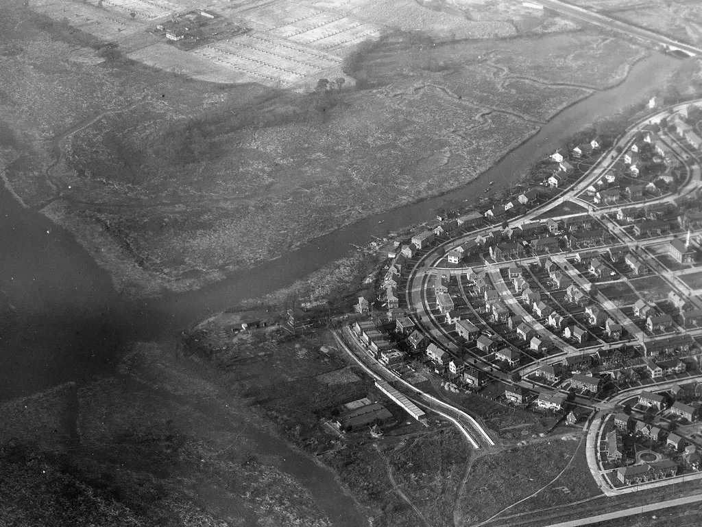
West Side of Yorkship Village. Aerial Photo circa 1920.
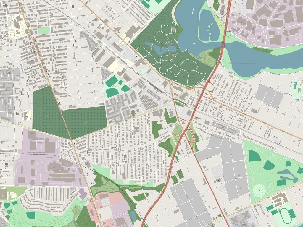
Map data from OpenStreetMap, stitched by Sonny Ruiz May 2025.
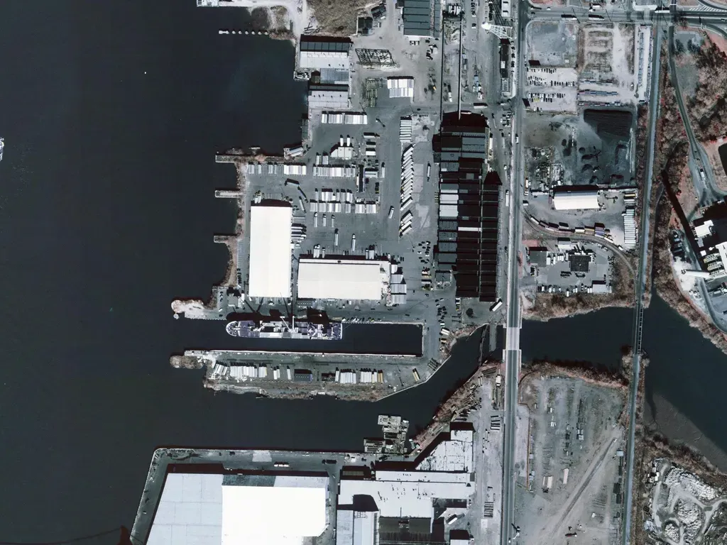
Shipyard (17 items)
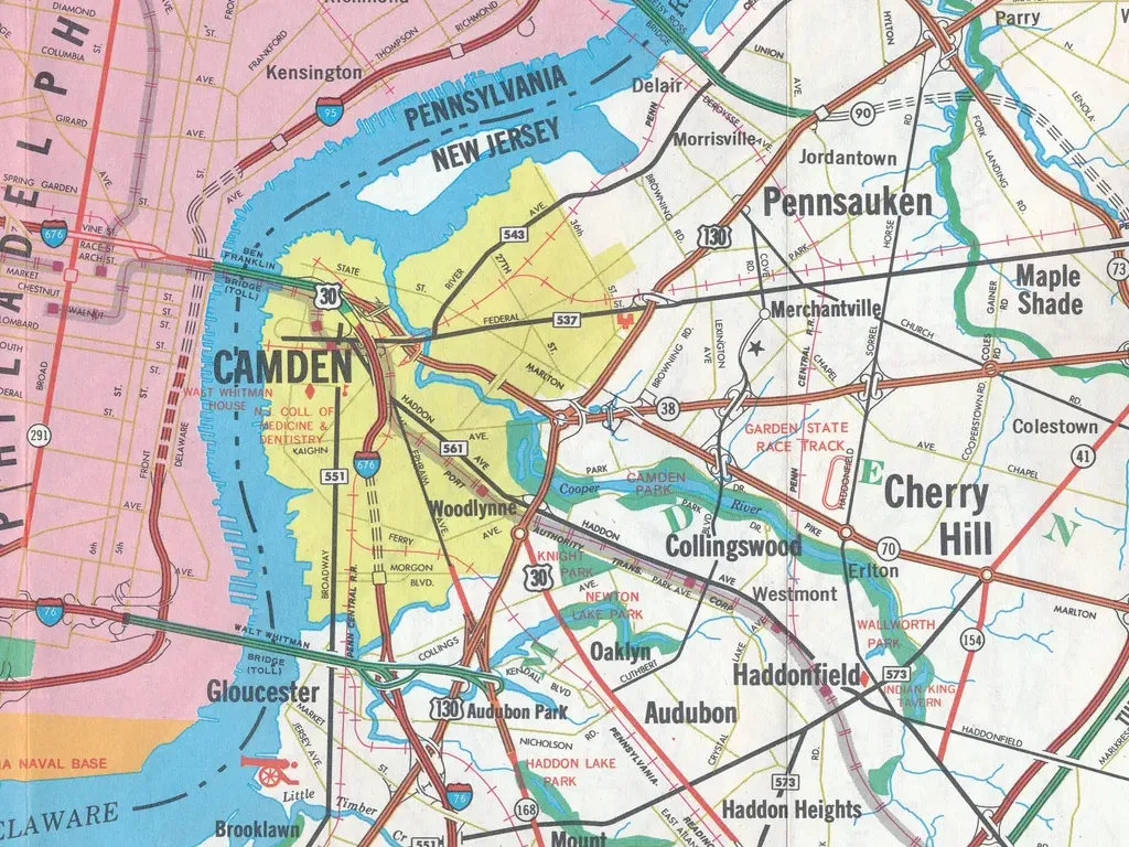
Camden (12 items)
Camden/Philly (6 items)
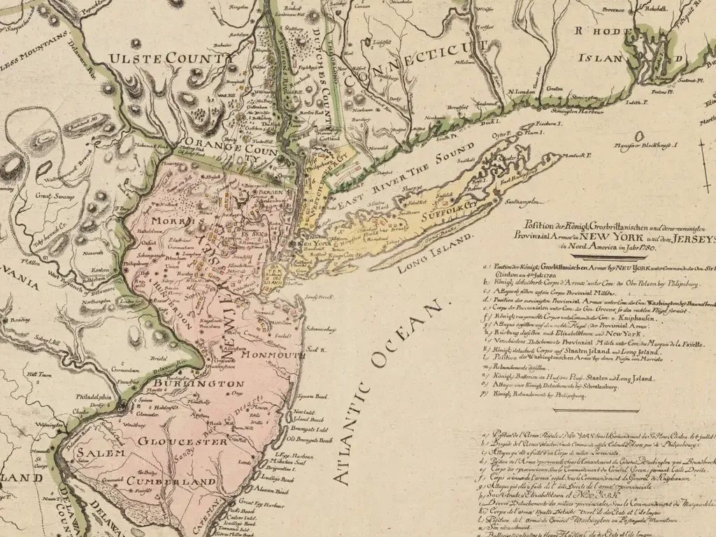
New Jersey (13 items)
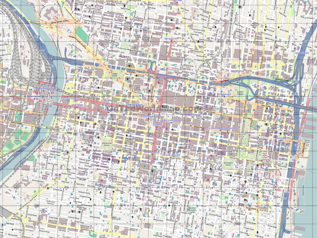
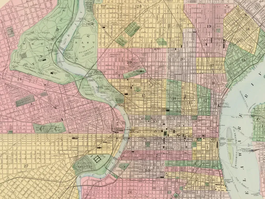
Philly (12 items)
